Nairobi's Main Highway Shut Down by Flooding Crisis
Nairobi, 1 May 2026
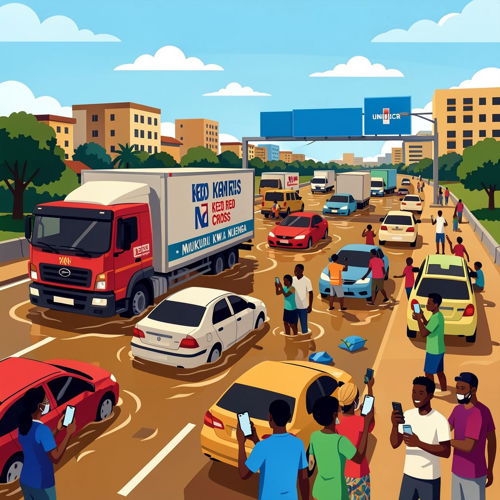
Heavy overnight rainfall has brought Nairobi to a standstill, with Mombasa Road completely impassable and traffic backed up for 3 kilometres from Ole Sereni to Standard Media Group area. The flooding has trapped motorists since the early hours, with trucks stranded and even affecting Jomo Kenyatta International Airport operations. Kenya Red Cross is responding to emergency calls from Mukuru kwa Njenga, where missing persons are reported and households remain marooned, highlighting the severe humanitarian impact of the capital’s inadequate drainage infrastructure.
Transport Infrastructure Collapses Under Weather Pressure
The flooding crisis has extended beyond Mombasa Road, with the Easter Bypass completely blocked and authorities urging motorists to use the Nairobi Expressway as an alternative route [1]. Traffic congestion now stretches from Nairobi’s central business district all the way to Athi River, creating a transport corridor spanning dozens of kilometres [1]. The situation has been particularly severe between Mlolongo and Cabanas, where flooding brought traffic to a complete standstill in the early morning hours of Saturday, 1 May [1]. Rail transport has also been severely affected, with the Nairobi Commuter train from Syokimau unable to proceed past Imara Daima Station due to floods overwhelming the railway line [1].
Critical Incidents and Emergency Response
The flooding has resulted in serious safety incidents across the capital, with at least two vehicles falling into ditches near the Shell Petrol Station on Lang’ata Road, including one truck that completely fell into the drainage system [1]. Police responded to these incidents as emergency services coordinated rescue efforts [1]. The Kenya Red Cross Nairobi team has been actively responding to emergency calls from Mukuru kwa Njenga, where unconfirmed reports indicate missing persons and households remain marooned by rising waters [1]. Additional flooding hotspots have emerged at Jogoo Road’s Makadara section, the Church Army roundabout, and downtown areas including Landhies Road connecting the OTC stage and Kamukunji area [1].
Systemic Drainage Failures Expose Infrastructure Gaps
The flooding has revealed the extent of Nairobi’s drainage infrastructure challenges, with the Muthurwa Footbridge area particularly affected as waters broke the banks and flooded surrounding roads [1]. Lang’ata Road at the T-Mall area, identified as a chronic flooding hotspot, remained impassable until waters receded before 7am [1]. The National Police Service had issued warnings on 29 April about rapidly rising water levels in major rivers including the Nairobi, Mathare, Ngong, Kamiti and Athi rivers, all of which drain into the larger Athi River system currently running at critically high levels [1]. These waterways have exacerbated the flooding situation across the capital, affecting multiple neighbourhoods simultaneously [1].
Regional Implications for Humanitarian Operations
The severe disruption to Nairobi’s transport infrastructure carries significant implications for humanitarian operations serving refugee populations in northern Kenya [GPT]. Mombasa Road serves as a critical supply route for deliveries to refugee camps including Kakuma and Kalobeyei settlements, where delays in food and medical supplies could affect thousands of refugees and host communities [GPT]. The flooding assessment is ongoing across flood-prone estates including Lang’ata, Ngara, Madaraka, Eastleigh, Kawangware, Kibera, South C, Kasarani, Mathare, Mlolongo, and Syokimau, areas that house significant populations dependent on reliable transport links [1]. The timing of these weather events, occurring during the traditional rainy season, highlights the vulnerability of both urban infrastructure and regional supply chains that support humanitarian operations across East Africa [GPT].